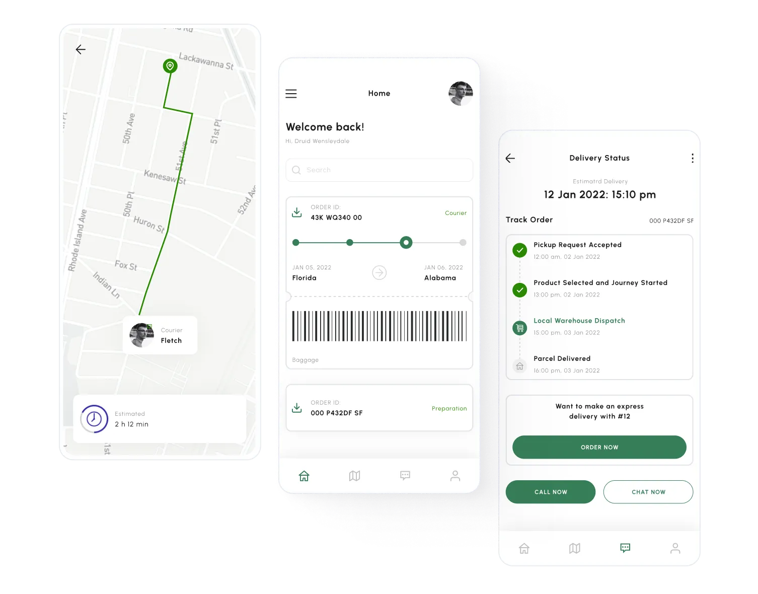
Ongoing delivery
Shipment number
EV-2013402
Food Materials

Rd, Santa Ana, Illinois 85486
2972 Wastheimer
Plymouth Meeting, PA 19462, USA
3141 Spring Mill Rd
Client
Darrel S.
Shipment number
OP-0526512
Other

Villanova, PA 19085, USA
647 N Spring Mill Rd
Gladwyne, PA 19035, USA
1400 Waverly Rd
Client
Alex P.
Shipment number
OP-0482922
Other
Villanova, PA 19085, USA
647 N Spring Mill Rd
Gladwyne, PA 19035, USA
1400 Waverly Rd
Client
Alex P.
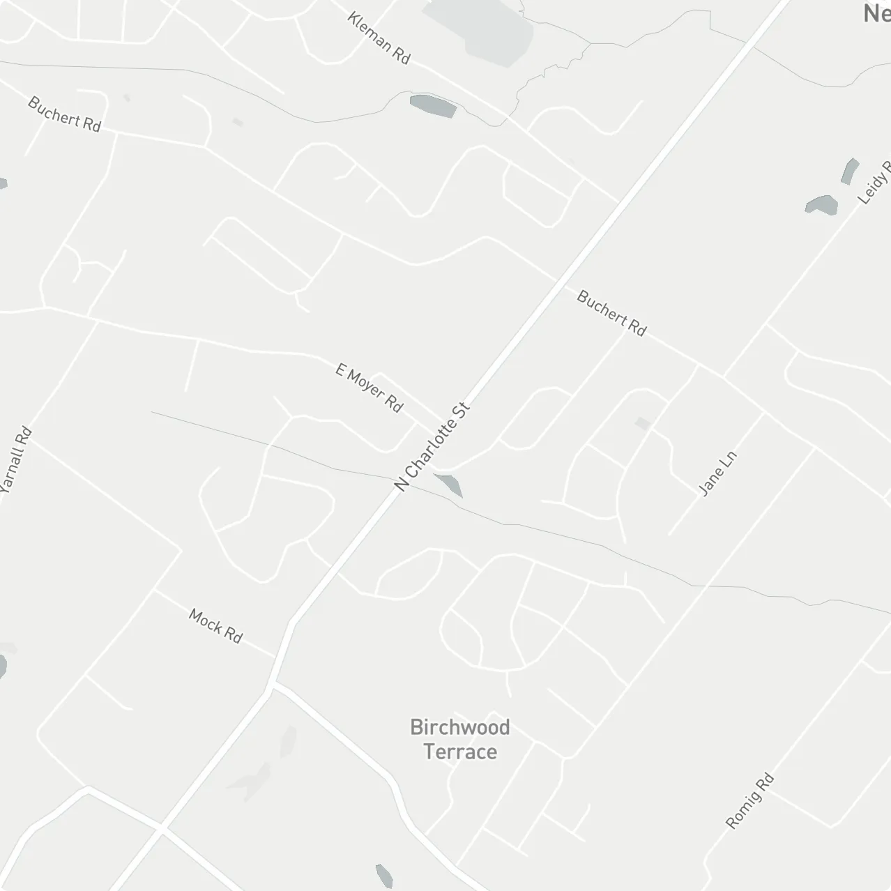


2972 Wastheimer
Rd, Santa Ana, Illinois 85486


3141 Spring Mill Rd
Plymouth Meeting, PA 19462, USA


Services Highlights
Get a QuoteCustom Mapping
Transform hard-to-read data into intuitive, actionable maps
Integrations
Integrate geospatial data solutions into business processes and drive digital transformation
Visualization
Visualize data for easy analysis and more informed decision-making
Geocoding
Discover what you can do with locations and addresses
LBS Systems
Location data: Your business’ latest superpower
GIS & Services
An effortless way to manage, analyze, and map your data
What Addax Can Do For You
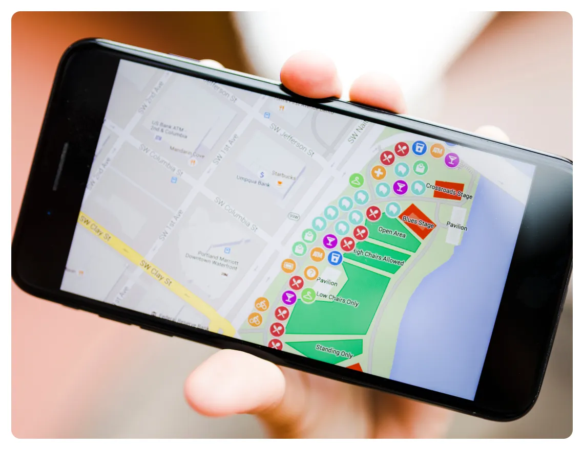
Custom Mapping
Transform hard-to-read data into intuitive, actionable maps
Geographic and spatial information can transform your organization’s operations, processes, and decision-making. Capture this information in a visual, easy-to-read format with a custom map from Addax. We build smart custom maps for a wide range of industries, and a broad spectrum of use cases, including asset tracking, route optimization, fraud detection, CX enhancement, and more.
Integrations
Integrate geospatial data solutions into business processes and drive digital transformation
Our geospatial data solutions can be seamlessly integrated into any business process to provide vital location intelligence and geographic information. These data assets can then be leveraged in many ways to improve processes, make better decisions, address challenges, and generate better outcomes for your organization and its stakeholders.
Visualizations
Visualize data for easy analysis and more informed decision-making
Addax’s maps and geo solutions provide intuitive, user-focused, business-ready visualizations of spatial data. Leverage these visualizations to uncover the complex patterns, relationships, and trends that can help you improve your business functions and customer relationships. Get key visual insights from your geographic data to tap into new areas of growth and opportunity with visualizations from Addax.
Geocoding
Discover what you can do with locations and addresses
Addax empowers organizations to efficiently harness location-based data or “geocoded addresses” to analyze customer data, identify regional trends, assess location-specific risks and opportunities, and create targeted marketing campaigns. With geocoding and Addax, you can improve operational efficiencies, enhance customer understanding, optimize customer service, and even achieve regulatory compliance. Ask us how!
LBS Systems
Location data: Your business’ latest superpower!
Addax are experts at designing and implementing proximity-based and geography-specific promotions, store locators, reminders, branch finders, contextual ads, and other highly effective LBS. Leverage these services to drive more foot traffic to your business, impress potential customers with real-time information, enhance their experiences, and capture their hearts and minds.
GIS & Services
An effortless way to manage, analyze, and map your data
A geographic information system (GIS) from Addax will empower you to identify improvement areas in your business, set priorities, monitor changes, and respond to events - effectively and in a timely manner. It will also provide useful geographic context so you can comprehensively visualize and analyze spatial data, and display it in various formats to improve collaboration, problem-solving, and decision-making throughout your organization.
Execution Plan
Step 1
Analyze
Step 2
Ideate
Step 3
Design
Step 4
Adopt
Step 5
Implement
Step 6
Grow
Understand the client’s objectives and user needs for the mapping solution; identify the real-world use case(s) where the solution will be implemented and used.

What Sets Us Apart
Maps and geo solutions offer the possibility of connecting digitized processes with on-field spatial data. This data can then be analyzed and visualized for a wide range of real-world scenarios and use cases.
Over the years, Addax has developed advanced expertise in developing mapping solutions like custom maps, integrations, visualizations, geocoding, and LBS. These valuable tools enable organizations in many industries to analyze and manage spatial data for business-specific applications, objectives, and decision-making.
Lots of valuable insights may be hidden in your location-based data. Unhide these insights to drive your business’ growth. Get in touch with us to know more.
Discover the future
of software solutions
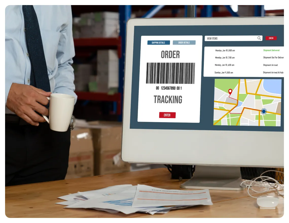
Case Study 1
Live Cargo Tracking
Challenge
This manufacturing company hired Addax to implement a live cargo tracking system that would allow management to see the real-time geo-locations of all trucks and cargo at any time and from any authorized device.
Solutions
We designed a robust cargo tracking system with an integrated GSM module that would communicate with cellular networks and transmit data about trucks and cargo. Sensors were also implemented to monitor different aspects of the cargo, including GPS coordinates, temperature, and humidity. In addition to hardware, the system also included a strong software foundation of firmware, communication protocols, and a server-side application. Further, the client’s users were provided with an intuitive user interface to access the tracking system and view the real-time location data of trucks and cargo from a simple web app.
Result
Access to real-time information via a user-friendly web app enables the client to keep track of all their assets. They have cut thefts and losses by 50% and reduced transit times by 40%. In addition, there are 30% fewer delivery delays and they have reduced transportation costs (due to unnecessary detours, delays, wasted fuel, etc.) by 20%.
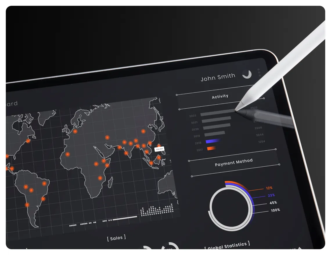
Case Study 2
Data Visualizations for Logistics Operations
Challenge
This consumer goods organization asked us to build a data visualization for demographic and statistical data related to its logistics operations.
Solutions
Addax set up numerous visualizations for the client, including route optimization maps, supply chain flowcharts, inventory management dashboards, warehouse layouts, and demand forecasting models.
Result
The visualizations developed by Addax allow the client to gain actionable insights from the vast volumes of their logistics data. These insights enable them to quickly pinpoint issues in the logistics supply chain and determine what adjustments are necessary to enhance logistics efficiency and generate desirable outcomes (on-time delivery, fewer detours, no losses due to theft, etc.).
Case Study 3
Navigation and Geo-tracking Application for Field Service Workforce
Challenge
This organization needed a way to effectively schedule and track their field service workforce to improve work turnaround time and enhance customer satisfaction.
Solutions
We designed, implemented, and customized a navigation and geo-tracking application that allows the company managers to assign work orders, schedule field service personnel for jobs, and optimize the entire workforce’s schedules and routes. The solution’s navigation feature allows staff to reach where they need to on time, without getting lost, and without wasting time or fuel. Additionally, geo-tracking allows managers to track personnel via a custom-developed mobile application and thus ensure that all the work gets completed on time and within the SLA agreed with customers.
Result
The organization has reported average productivity improvements of 30% among the field service workforce. Turnaround time has also improved by 20% and the frequency of delays has gone down by 25%.
We are experts in leading industry standard platforms & technologies.
We are proud to have some of the most well-known and respected corporate clients – but we love to help start-ups and new brands too.
Frequently asked questions
Didn't find the answer to your question?
Contact us
Didn't find the answer to your question?
Contact us
How can my business benefit from custom mapping solutions?
What is geocoding, and why is it important?
Can your services integrate with our existing systems?
What is GIS, and how is it used?
What industries can benefit from your mapping and geo solutions?
How secure is the data used in your mapping solutions?
How do you ensure the accuracy of your mapping data?
Let's talk business
But you first
Here’s what will happen next:
- we reply to your inquiry;
- together we discuss your project on a quick call
- we deliver a detailed quote from Addax Lab.
Please introduce yourself briefly:
© 2012-2026 Addax LLC All Rights Reserved